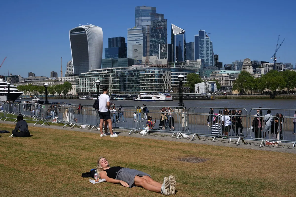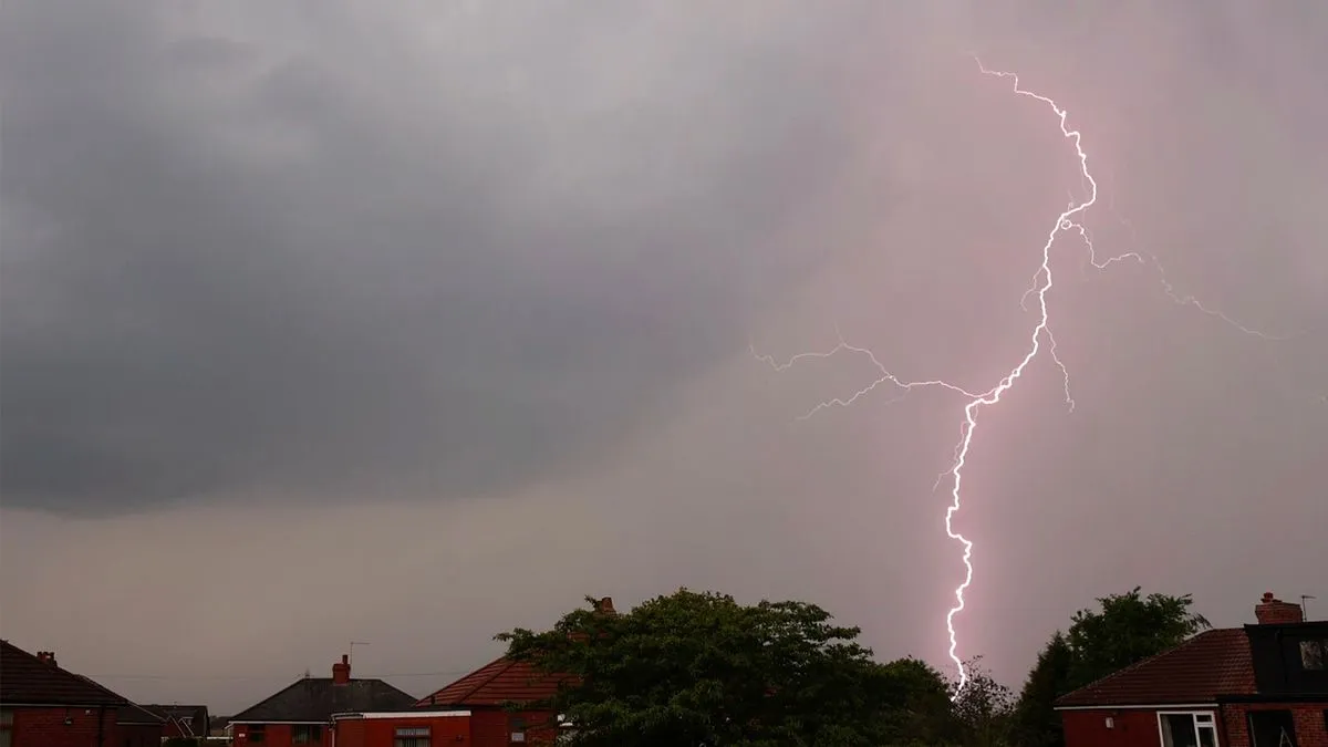
Thunderstorms are set to disrupt the Bank Holiday weekend across 22 counties in the UK, following a period of warm weather. The Met Office has warned of heavy showers and hail, particularly affecting parts of England and Wales.
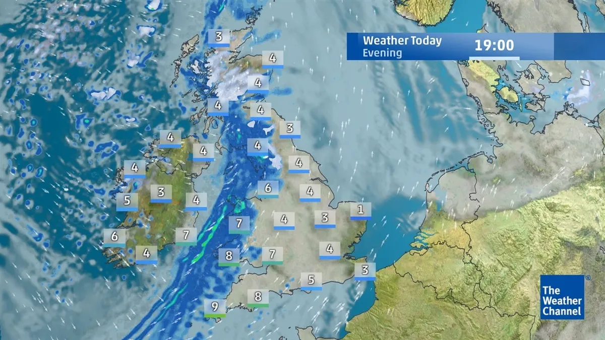
The recent warm spell has seen temperatures rise to as high as 26 degrees Celsius earlier in the week. However, conditions are expected to change dramatically with thunderstorms predicted to hit southern England and Wales around 7 PM on May 3, 2026. The Met Office described it as a wet start for many parts of England and Wales.
Key weather forecasts:
- Temperatures will range from highs of 17 to 19 degrees Celsius in the south.
- Overnight lows could drop to between 9 and 10 degrees Celsius.
- The weather mapping service Ventusky anticipates thunderstorms will peak around evening hours.
In light of these warnings, the Met Office advised people to avoid using landlines during thunderstorms due to lightning risks. Mark Sidaway, a deputy chief forecaster at the Met Office, noted that conditions would remain changeable into Monday, with lingering cloud and scattered showers expected across southern and central areas.
The Bank Holiday weekend has typically brought mixed weather patterns after a prolonged spell of dry, warm, and sunny conditions. As such, many families planning outdoor activities may need to adjust their plans accordingly due to potential disruptions from severe weather.
Officials have not provided specific details on how long these thunderstorms might last or if further severe weather is anticipated beyond this weekend. Nonetheless, residents are encouraged to stay updated with local forecasts as conditions evolve leading into the holiday period.
As News-UK's Sports News Writer, Oscar Pennington reports on rugby union, golf and boxing for readers across the country. He built a reputation for sharp explainer pieces on regional sport. He holds a degree in Journalism from Nottingham Trent University and completed an NCTJ diploma. Oscar lives in Nottingham, where he follows the pro golf tour and amateur boxing. “Context is what turns a result into a story.”