The UK is experiencing a significant drop in temperatures and a shift to wetter conditions after a warm spell. Temperatures in London are expected to peak at 14C on May 6, followed by a gradual increase over the next few days, reaching up to 21C on May 9.
As temperatures dip, daytime highs across the UK on May 6 will fall below the seasonal average, marking a stark contrast from recent highs above 25C. This shift indicates a broader change in weather patterns, with chilly air settling across the country.
Rainfall is on the horizon, beginning on May 7 and expected to persist throughout the week. The Met Office warns of likely rain or showers across portions of England and Wales, which could be heavy and locally thundery.
Forecast highlights:
- Peak temperatures in London: 14C (May 6), 16C (May 7), 19C (May 8), 21C (May 9), 18C (May 10), and stabilizing at around 15C for May 11-12.
- Rainfall starting from May 7, with heavier showers and possible thunderstorms by week’s end.
- Showers may even bring snow over the Scottish mountains, though many areas are likely to remain dry.
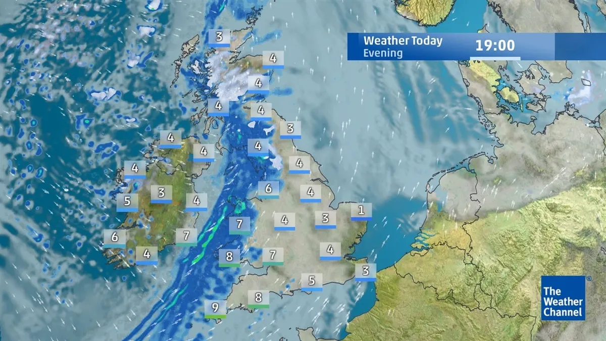
The upcoming weekend is set to feature light rain and winds, with Sunday expected to see patchy rain once more. Temperatures are projected to top out near 12°C after starting around 8°C.
Officials have not provided detailed forecasts for beyond this week, but residents are advised to prepare for variable spring weather ahead.
Martha Kingsley is a Birmingham-based writer for News UK covering community, education and local affairs across the UK.